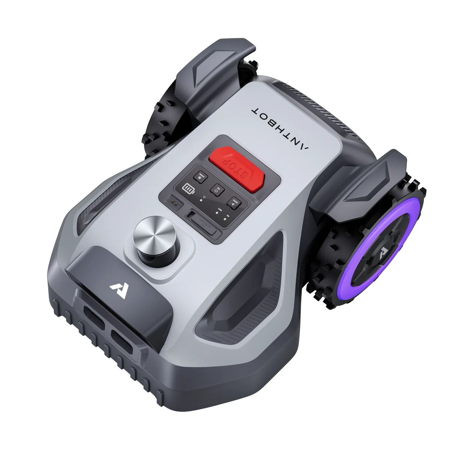
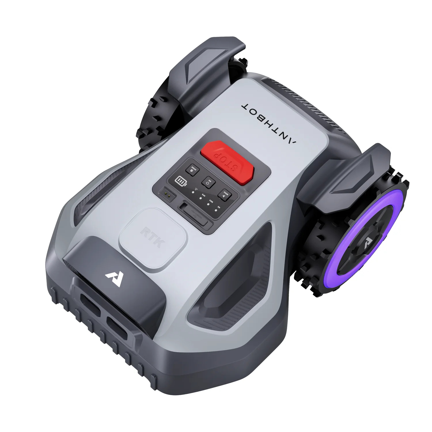
Anthbot M5 LiDAR vs Anthbot M9
Technical comparison · Robot lawn mowers
Two Anthbot mowers in the same price range, with the same 20 cm cutting width, the same maximum slope of 45% and 20 manageable zones. What changes is the working area declared by the manufacturer: 500 m² for the M5 LiDAR, 1000 m² for the M9.
| Parameter | ||
|---|---|---|
| Identity | ||
| Use tier | F2 — Intermediate | F2 — Intermediate |
| Price | ||
| Price | ~450–1000 € | ~450–1000 € |
| Category specs | ||
| Working area capacity | 500 m² | 1000 m² |
| Boundary wire required | No | No |
| Navigation system | LiDAR | RTK-GNSS with cameras |
| Onboard camera | — | Yes |
| Maximum slope | 45 % | 45 % |
| Cutting width | 20 cm | 20 cm |
| Cutting height, minimum | 30 mm | 30 mm |
| Cutting height, maximum | 70 mm | 70 mm |
| Number of blades | — | 5 |
| IP rating | IPX6 | IPX6 |
| App | ANTHBOT app | ANTHBOT App |
| Rain sensor | Yes | Yes |
| Obstacle avoidance | LiDAR | Cameras |
| Maximum number of zones | 20 | 20 |
| Connectivity | — | Built-in cellular |
| RTK correction | — | Both |
The differences that matter
- 500 m² vs 1000 m² declared → a lawn between 500 and 1000 m² falls outside the M5 LiDAR.
- LiDAR vs RTK-GNSS with cameras → the M5 LiDAR measures its surroundings with a laser, the M9 relies on satellites.
- Built-in cellular connectivity on the M9 → the connection does not rely on home Wi-Fi.
In short
Anthbot M5 LiDAR
The Anthbot M5 LiDAR navigates and detects obstacles with LiDAR alone, a laser sensor that measures distances. It suits a lawn of up to 500 m²; beyond that, the declared area is not enough.
Anthbot M9
The Anthbot M9 declares 1000 m², uses 5 blades and has built-in cellular connectivity; it navigates with RTK-GNSS (satellite positioning with a correction signal) and cameras. It suits a garden that would exceed 500 m² with the M5 LiDAR. Obstacles are detected by the cameras, without LiDAR.
Where to buy
The purchase links are the same as on the two product pages and don't influence the verdict. The product pages have the complete data.